ENDLESSRESEARCH008
ENDLESSRESEARCH008
Discover By KATRIN BRAGA
DISCOVER A CITY: Reykjavik, KATRIN BRAGA
Reykjavík is located in the southwest of Iceland. The Reykjavík area coastline is characterized by peninsulas, coves, straits, and islands.
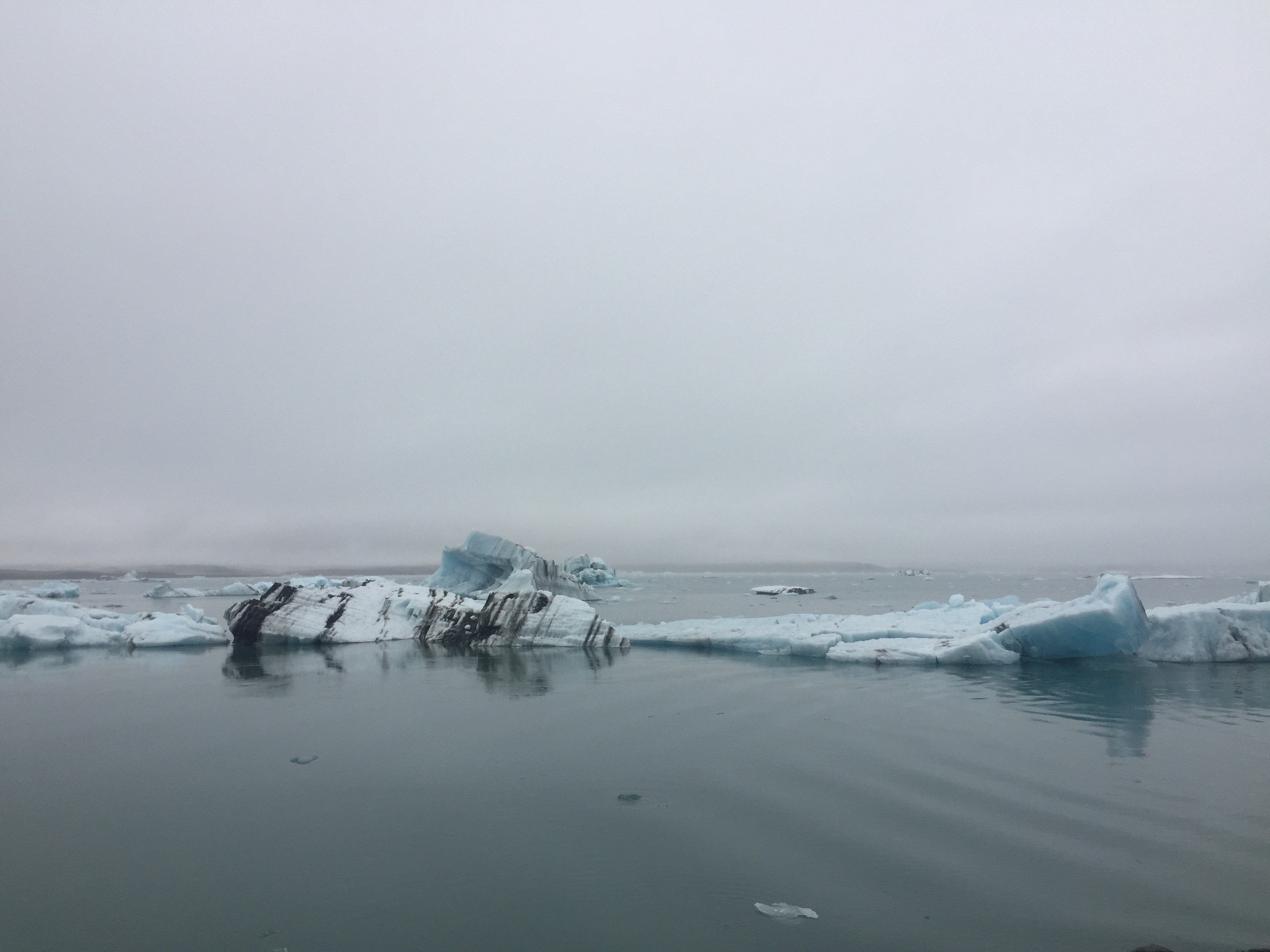
During the Ice Age (up to 10,000 years ago) a large glacier covered parts of the city area, reaching as far out as Álftanes. Other parts of the city area were covered by sea water. In the warm periods and at the end of the Ice Age, some hills like Öskjuhlíð were islands. The former sea level is indicated by sediments (with clams) reaching (at Öskjuhlíð, for example) as far as 43 m (141 ft) above the current sea level. The hills of Öskjuhlíð and Skólavörðuholt appear to be the remains of former shield volcanoes which were active during the warm periods of the Ice Age. After the Ice Age, the land rose as the heavy load of the glaciers fell away, and began to look as it does today.
The capital city area continued to be shaped by earthquakes and volcanic eruptions, like the one 4,500 years ago in the mountain range Bláfjöll, when the lava coming down the Elliðaá valley reached the sea at the bay of Elliðavogur.
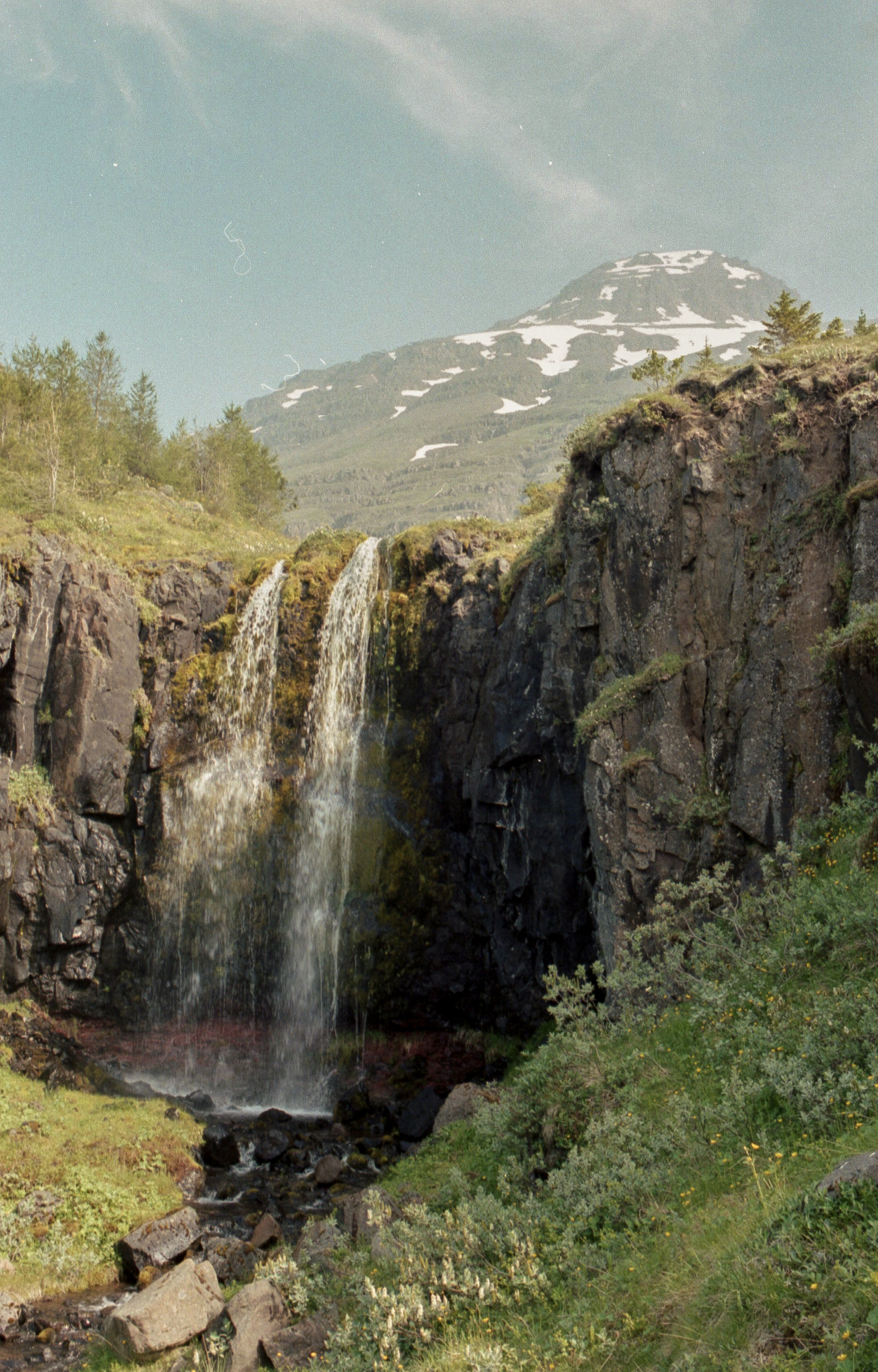
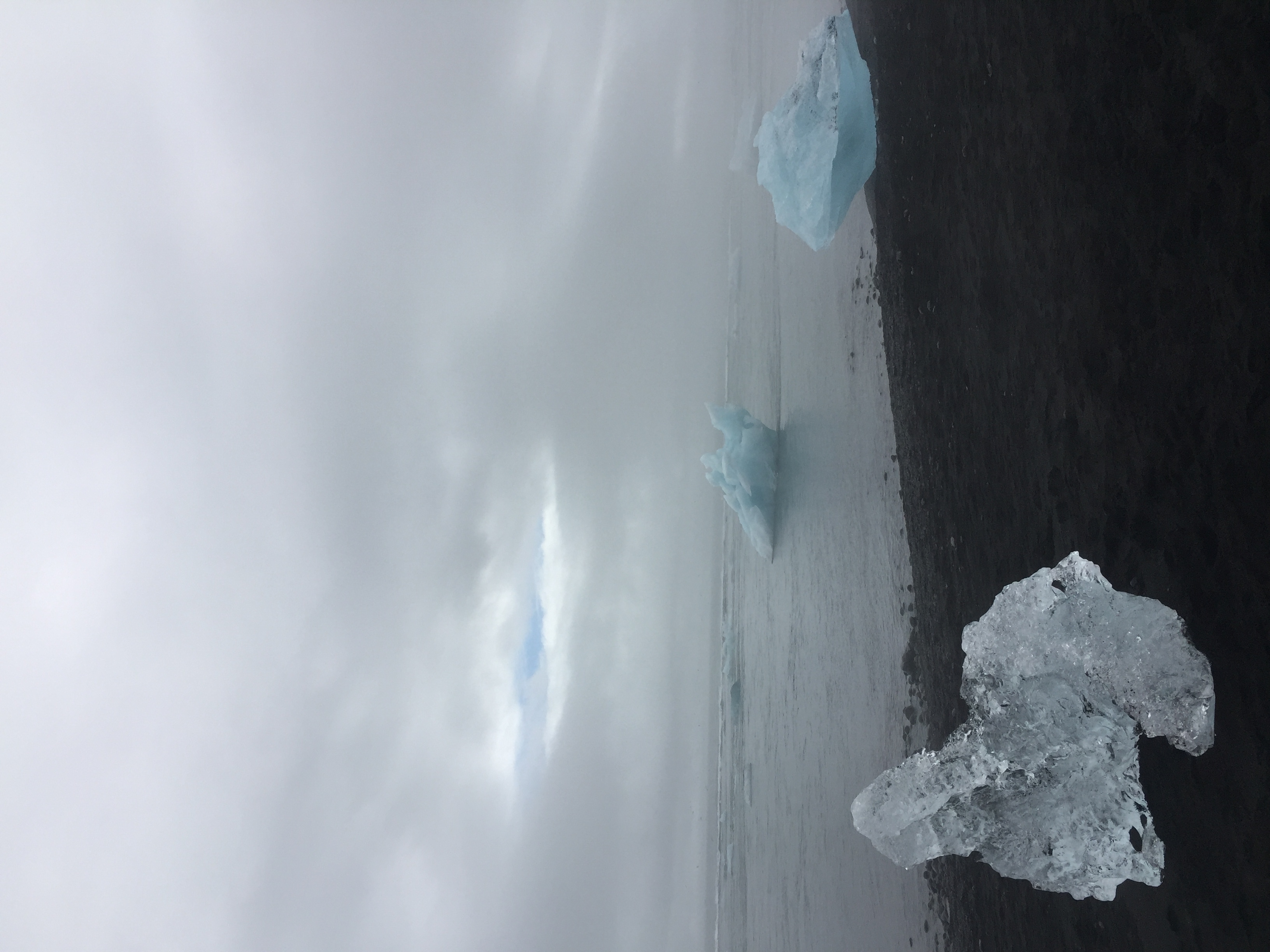
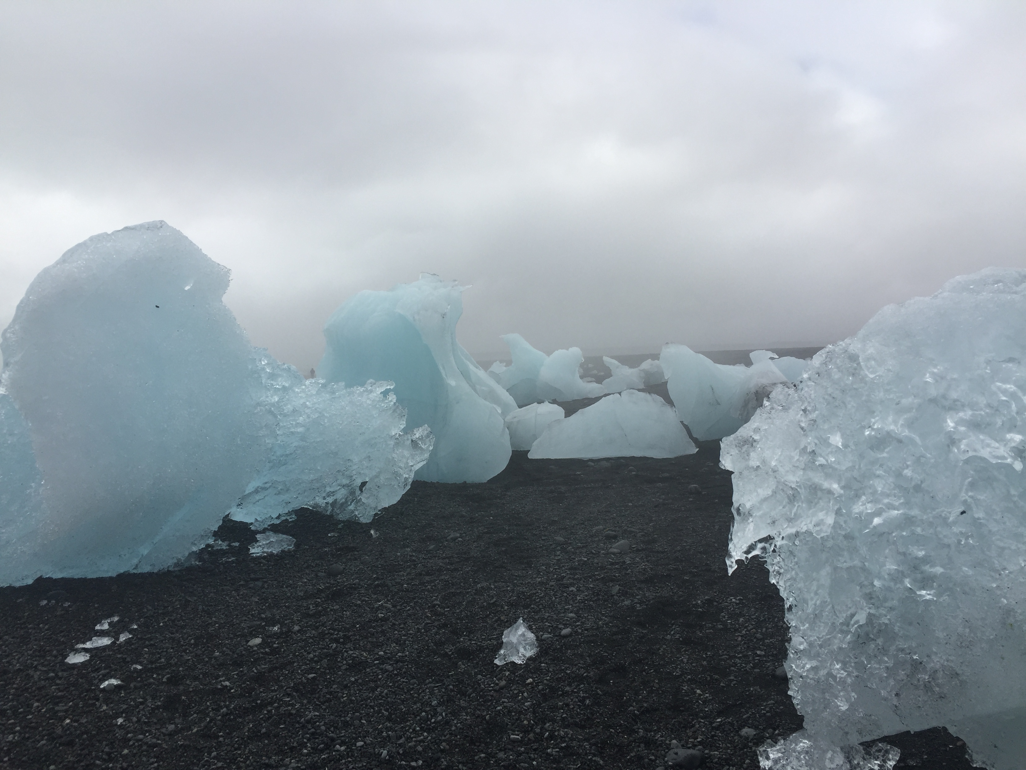
Photography by Katrin Braga